

Chile is a country of extremes. Its territory is home to some of the driest places on the planet, as well as temperate rainforests, volcanoes, glaciers, and island ecosystems. This geographic diversity is also reflected in its network of 46 national parks, administered by the National Forestry Corporation (CONAF), and in the more than 110 protected areas in total (covering more than 18 million hectares), which allow visitors to explore, from north to south, some of the country’s most iconic and unique landscapes.
One hundred years after the creation of Chile’s first national park, Natural es Cuidar, Ladera Sur, and Marca Chile are highlighting this network, which has become one of the main tools for conserving the biodiversity and landscapes that define the country.
High Plateau and Flowering Desert
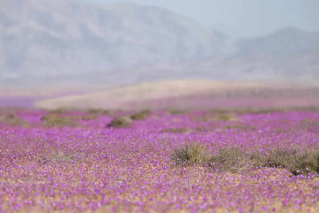
From the world’s driest desert to the Desierto Florido National Park, the region known as the “Norte Grande” is home to national parks where life flourishes under extreme conditions, creating a unique landscape.
Toward the “Norte Chico,” the arid landscape begins to give way to vegetation. In Bosque Fray Jorge National Park, the camanchaca—the coastal fog characteristic of this area—enables the existence of a relict hydrophilic forest, an ecosystem reminiscent of the southern rainforests that stands as a testament to the climatic conditions of bygone eras.
Landscapes Shaped by the Passage of Time
In the central region, biodiversity is reflected in landscapes featuring sclerophyllous forests with lush, evergreen vegetation, whose formations have been shaped over thousands of years.
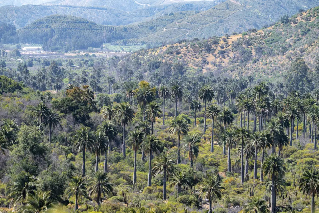
La Campana National Park, in the Valparaíso Region, protects one of the last refuges of the Chilean palm and preserves ecosystems typical of the central region, while Radal Siete Tazas National Park, in the Maule Region, owes part of its uniqueness to the waters of the Claro River, which have carved the basalt rock into natural pools, rapids, and waterfalls.
Further south, in the Biobío Region, lies Nonguén National Park, which protects one of the last remaining patches of native forest in the Cordillera de la Costa near Greater Concepción—a forest that had been replaced by agricultural plantations.
Volcanoes and Ancient Trees
In the southern region, Conguillío National Park offers one of the most recognizable landscapes in La Araucanía: ancient araucaria forests that stretch alongside a landscape shaped by volcanic activity and the presence of Lake Conguillío.
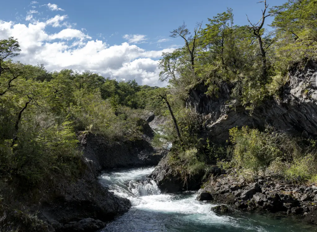
In the Los Ríos Region, the Alerce Costero National Park protects alerce trees that can be over 3,000 years old, while in the Los Lagos Region, Vicente Pérez Rosales National Park—established in 1926 and Chile’s first national park—features some of the south’s most iconic landscapes, including the Osorno volcano, the Petrohué Falls, and Lake Todos los Santos.
Glaciers and Fjords
In the southern region, the landscape changes once again. The Andes mountain range breaks up, giving way to a landscape of fjords, glaciers, forests, and mountains.
National parks such as Queulat, Cerro Castillo, Patagonia, and Bernardo O’Higgins—the largest in Chile—shelter some of the country’s most pristine ecosystems and feature majestic ice fields.
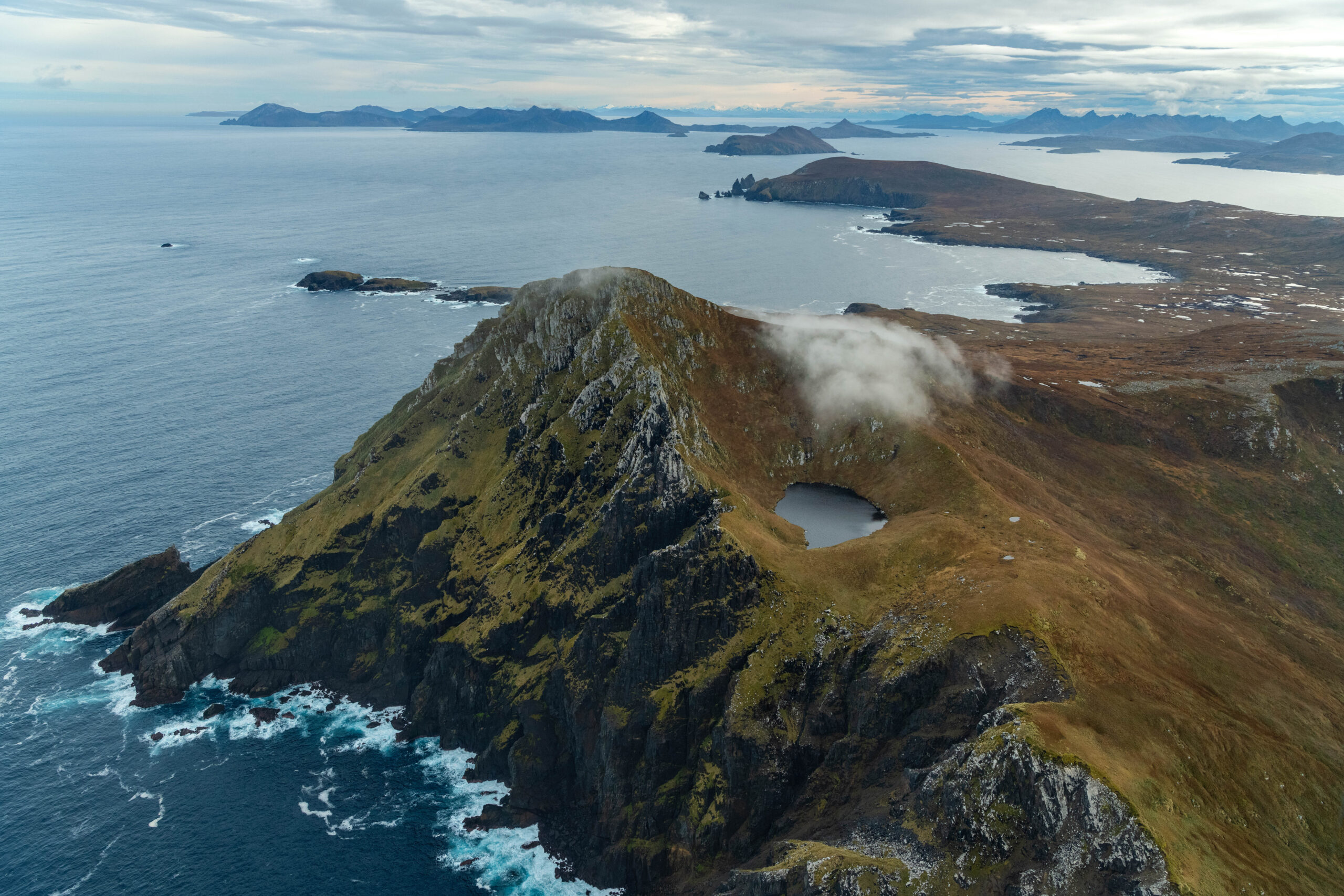
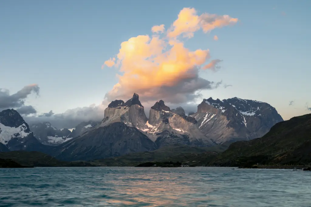
In the far south, meanwhile, the Torres del Paine, Kawésqar, and Cabo de Hornos National Parks protect some of the most untamed ecosystems on the planet. This area is dominated by fjords, channels, glaciers, sub-Antarctic forests, and vast marine areas, making it one of Chile’s best-preserved regions.
Unique Island Ecosystems
Beyond its mainland territory, Chile also protects its island ecosystems. The Juan Fernández Archipelago National Park is home to one of the world’s highest concentrations of endemic plants, the result of millions of years of geographic isolation. Meanwhile, Rapa Nui National Park preserves the island’s volcanic landscape and characteristic vegetation, along with its exceptional cultural and archaeological heritage.